Watershed Management Plans
Watershed Management Plans provide the road map for how we, as individuals and communities, can reduce pollutant loading to the lake to Keep Winni Blue
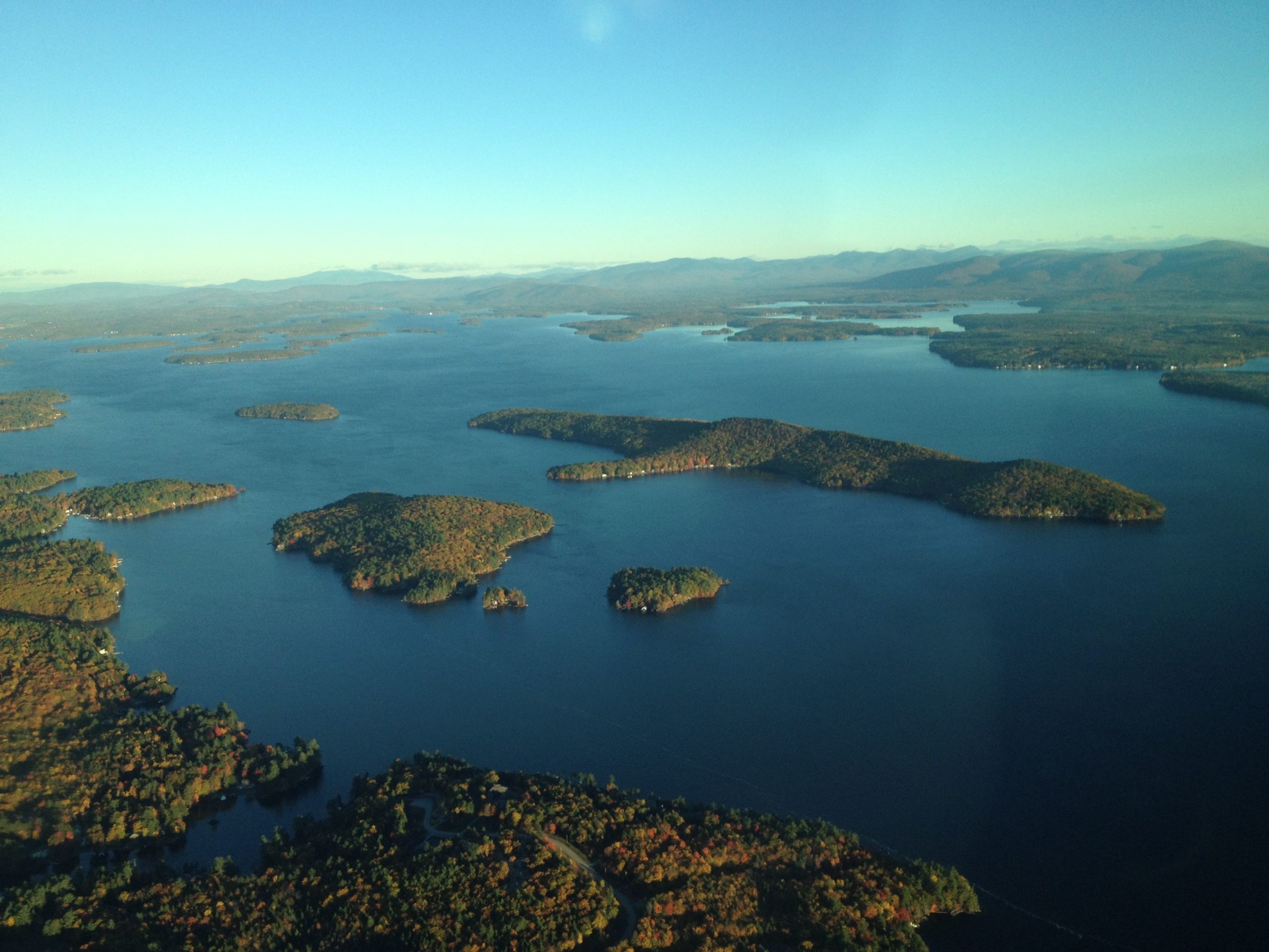
Due to the size of the lake, its physical structure and shape of interconnected bays rather than a single cohesive body of water, and local municipal controls over planning, zoning, and conservation, management plans are developed at the subwatershed level.
For each subwatershed plan, the process is similar: Identify sources of pollution, model the nutrient loading to the lake, create an action plan to reduce the nutrient loading, and implement the actions identified.
